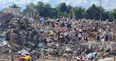
Tsunami Alerts Issued After 7.1-Magnitude Earthquake Hits Venezuela
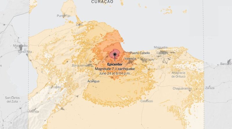
Note: Map shows the area with a shake intensity of 3 or greater, which U.S.G.S. defines as “weak,” though the earthquake may be felt outside the areas shown. The New York Times
A major, 7.1-magnitude earthquake struck in Venezuela on Wednesday and prompted tsunami alerts in the Caribbean, according to monitoring agencies in the United States.
A tsunami advisory was issued for coastal areas of Puerto Rico, the U.S. Virgin Islands and the British Virgin Islands, according to the U.S. Pacific Tsunami Warning Center. The agency said that people in those areas who are in or near the ocean should get out of the water, off the beach and away from harbors or inlets, Tsunami waves also were possible along the coasts of Venezuela, Bonaire, Curacao and Aruba.
The temblor happened at 6:04 p.m. Venezuela time about 17 miles northwest of Montalbán, Venezuela, data from the U.S. Geological Survey showed.
As seismologists review available data, they may revise the earthquake’s reported magnitude. Additional information collected about the earthquake may also prompt U.S.G.S. scientists to update the shake-severity map.
Sources: United States Geological Survey (epicenter, aftershocks, shake intensity); LandScan via Oak Ridge National Laboratory (population density) | Notes: Shaking categories are based on the Modified Mercalli Intensity scale. When aftershock data is available, the corresponding maps and charts include earthquakes within 100 miles and seven days of the initial quake. All times above are Venezuela time. Shake data is as of Wednesday, June 24 at 6:21 p.m. Eastern. Aftershocks data is as of Wednesday, June 24 at 6:35 p.m. Eastern.